
Excavation incidents cause an estimated $30 billion in annual utility damage, yet Seeing the unseen: How AI-powered geospatial tech is transforming utility safety offers a critical solution to this pervasive and costly challenge. This innovative approach leverages continuous, high-resolution satellite monitoring and AI analysis to proactively identify threats and prevent infrastructure damage, ensuring enhanced safety and operational efficiency.
Key Implications:
- Persistent Damage Costs: Excavation incidents lead to an estimated $30 billion in annual financial losses and continuous safety hazards, primarily due to infrequent manual inspections and a significant ‘visibility gap’ for underground assets.
- Proactive Threat Detection: AI-powered geospatial analytics, utilizing high-resolution satellite imagery, rapidly detects surface changes as small as 30 centimeters within hours, identifying potential threats like soil disturbances and new construction.
- Enhanced Operational Efficiency & Risk Management: Integrating AI with existing GIS systems refines anomaly detection, enabling proactive interventions, minimizing infrastructure damage, optimizing resource allocation, and fostering predictive analytics for future risk management.
Excavation Incidents Cause $30 Billion Annual Utility Damage
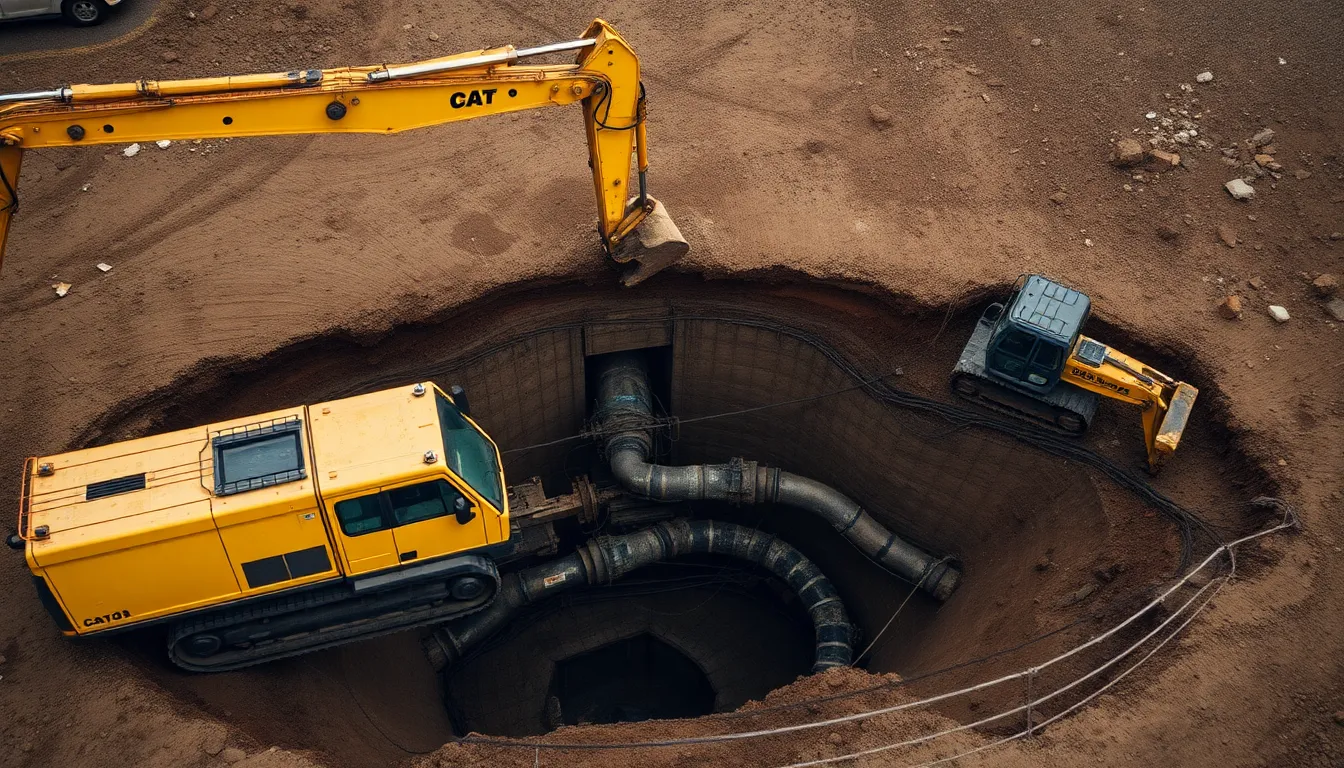
Underground utility damage, predominantly caused by excavation, poses significant and continuous risks across the United States. These incidents result in an estimated $30 billion in annual financial losses. This impacts utility companies, local economies, and the public alike. Such damage presents ongoing safety and environmental hazards, demanding immediate attention for effective utility safety management.
The Pervasive Cost of Utility Damage
Consider the alarming frequency of these events. An underground utility line is damaged every six minutes somewhere in the United States due to excavation. This staggering frequency highlights the pervasive nature of these incidents, creating continuous disruptions for essential services, communities, and businesses. You can imagine the ripple effect of frequent outages.
In 2019, these excavation damages cost U.S. utilities an estimated $30 billion. This massive figure covers lost service revenue, emergency response efforts, and significant repair costs for damaged infrastructure. These financial repercussions extend beyond immediate fixes, affecting long-term operational efficiency and public trust.
Data from 2024 indicates a worrying upward trend. Pipeline excavation incidents averaged 1.45 per day, showing a continued increase despite existing safeguards. This escalating frequency underscores the inadequacy of current preventative measures. More robust strategies are critically needed for utility safety and infrastructure protection.
The Dangerous Visibility Gap
You might wonder why these damaging incidents persist, even with established safety protocols. The core problem often lies in a dangerous visibility gap. Reliance on infrequent, periodic field observations and a persistent lack of up-to-date information about buried assets contribute significantly to this vulnerability.
Traditional manual inspections are typically mandated only every 30 to 90 days. This creates an enormous vulnerability window. Dangerous encroachments or unforeseen changes around underground infrastructure can go completely undetected for weeks or months. During this extended period, critical, unseen hazards can develop, directly leading to preventable damages.
This absence of comprehensive, real-time data means utility companies often operate with incomplete knowledge of their subsurface environments. Without the ability to truly gain “seeing the unseen” capabilities for underground infrastructure, managing inherent risks becomes a reactive endeavor. It is not truly proactive or preventive.
Increasing Incidents Despite Regulations
It is a striking paradox that despite widespread regulations like “call before you dig,” incidents of utility damage continue to rise. This mandatory notification system, designed as a foundational preventative measure, is crucial. However, it is clearly insufficient on its own to stem the tide. The persistent increase in damages suggests deeper, systemic challenges within current operational frameworks.
This situation reflects a fundamental difficulty in maintaining comprehensive and dynamic awareness of subterranean assets. The continued reliance on fragmented data sources and delayed inspection cycles means inherent excavation damage risk remains unacceptably high. Addressing this profound visibility deficit is therefore paramount for significant improvements in utility safety and infrastructure resilience.
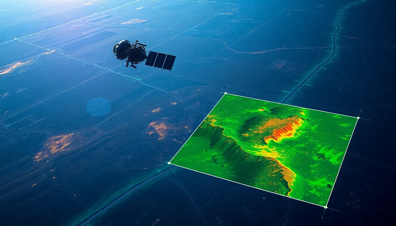
Rapid Detection of 30-Centimeter Surface Changes via AI-Powered Satellites
AI-powered geospatial analytics provides continuous, high-resolution monitoring for utility rights-of-way. This advanced technology significantly accelerates the detection of potential threats and concurrently lowers operational costs, effectively transforming utility safety. This innovative approach directly addresses the challenge of “Seeing the unseen: How AI-powered geospatial tech is transforming utility safety.”
Advanced Satellite Imaging and Data Acquisition
Remote sensing technology facilitates the monitoring of extensive pipeline and cable corridors from altitudes up to 270 miles. This elevated vantage point allows for comprehensive coverage of vast geographical areas. Commercial satellite imagery, supplied by entities such as Airbus and Vantor, offers the capability to discern subtle surface alterations. These advanced systems are capable of detecting physical changes as diminutive as 30 centimeters across various terrains.
Multispectral data records information across a few discrete spectral bands, while hyperspectral data collects information across a much wider range of continuous, narrow spectral bands. These specialized data types, captured by sophisticated high-resolution satellite sensors, provide detailed insights beyond the visible light spectrum. This enables a thorough analysis of environmental conditions and subsurface indicators.
AI-Driven Analysis for Threat Identification
Artificial intelligence (AI) algorithms are deployed to process and interpret the collected satellite data. These algorithms merge multispectral and hyperspectral inputs to identify a broad spectrum of critical surface activities. Such activities include soil disturbances, anomalous vegetation changes, evidence of trenching, the initiation of new construction projects, and the presence of heavy equipment. Each of these indicators signifies potential risks to underground infrastructure, such as pipelines or cables.
The analytical speed achieved through cloud computing resources is substantial, allowing for the processing of immense satellite image datasets within hours. This efficiency marks a significant improvement when compared to traditional monitoring methods, like those employing drones or manned aircraft, which often demand days or even weeks for data collection and analysis. Consequently, satellite imaging integrated with AI processing proves to be both faster and more cost-effective for extensive and routine monitoring operations.
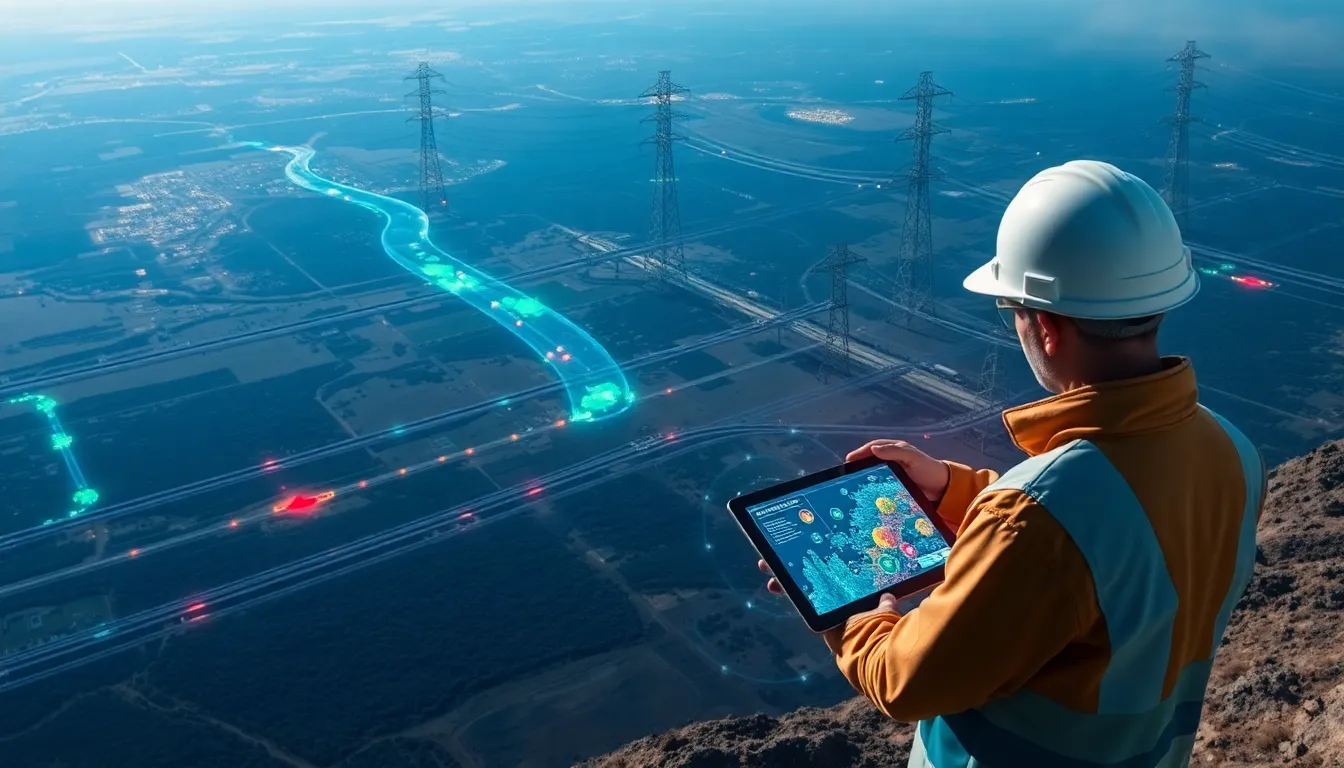
Proactive Safety and Operational Benefits
The rapid and precise detection capabilities inherent in AI-powered geospatial technology are fundamentally redefining utility safety protocols. This allows utility companies to implement proactive interventions against identified potential threats, thereby minimizing infrastructure damage and preventing costly service disruptions. The seamless integration of AI with geospatial technology also significantly enhances overall operational efficiency and resource allocation for routine inspections.
The ability of AI-powered geospatial tech to “See the unseen” offers unprecedented insights into the integrity of utility corridors. This continuous, high-resolution surveillance ensures a heightened standard of safety and reliability for critical infrastructure assets. It represents a substantial advancement in strategic asset protection and comprehensive risk management, underscoring the transformative potential of this technology in “Seeing the unseen: How AI-powered geospatial tech is transforming utility safety.”
Integrated Geospatial AI Refines Anomaly Detection for Proactive Utility Safety
Integrating AI-powered geospatial analytics with existing Geographic Information Systems (GIS) enables the precise identification and management of utility corridor anomalies. This approach enhances utility safety by leveraging advanced technology for proactive risk mitigation.
A major utility exemplifies this success by refining AI models for predictive encroachment detection, thereby transforming utility safety. This systematic application of data-driven insights ensures a more secure and efficient infrastructure.
Leveraging AI and Geospatial Data for Corridor Monitoring
Southern Company implemented a quarterly monitoring schedule to identify new construction along its utility service corridors. This systematic approach ensures consistent oversight of critical infrastructure areas.
Satelytics captured multispectral imagery at a 50-centimeter resolution from Pleiades 1A and 1B satellites for Southern Company. This high-resolution data facilitates the detailed detection of environmental changes and potential encroachments.
Enhancing Accuracy Through Integrated Systems and Ground Truthing
Encroachment alerts and comprehensive geospatial data were transferred directly to Southern Company’s ArcGIS system. This was achieved via application programming interfaces (APIs), ensuring seamless data flow.
Southern Company further refined its AI models through comparative field visits. This “ground truthing” process ensures the system flags only encroachments posing a genuine danger or problem, significantly increasing accuracy.
Continuously improving machine learning algorithms benefits from on-site verification using tools like Esri Field Maps and Survey123. Such practical application helps seeing the unseen: how AI-powered geospatial tech is transforming utility safety by validating AI predictions against real-world conditions.
Predictive Analytics for Future Utility Risk Management
The future role of predictive analytics extends to advanced excavation risk management. This includes the development of precise construction forecasts to anticipate potential hazards.
Dynamic risk scoring dashboards will offer real-time insights into potential threats across utility networks. This proactive capability is crucial for effectively managing risks and preventing incidents.
This integration of AI and GIS technology offers a transformative approach to maintaining utility safety. Seeing the unseen: how AI-powered geospatial tech is transforming utility safety through predictive models represents a critical evolution in infrastructure protection.
Featured image generated using Flux AI
GPS World: “Seeing the unseen: How AI-powered geospatial tech is transforming utility safety”